SityTrail Premium Slovenia - yearly subscription


Slovenia, a true hidden gem in the heart of Europe, is a favored destination for nature and outdoor sports enthusiasts. Its varied terrain and natural beauty make it a prime location for activities such as hiking and cycling.
Spanning over 20,000 square kilometers, this country offers a wide range of landscapes to explore. From the majestic mountains of the Julian Alps to the gentle hills of the Brda wine region, to the vast plains of Pannonia, Slovenia boasts a multitude of places that will charm outdoor enthusiasts.
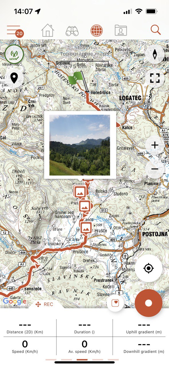
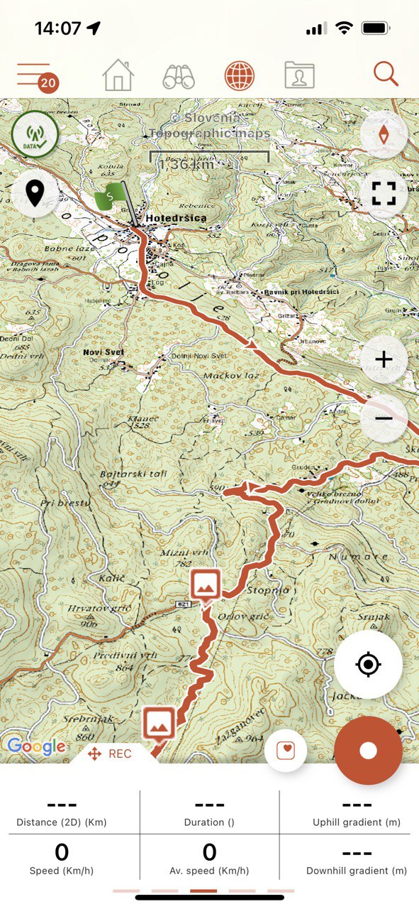
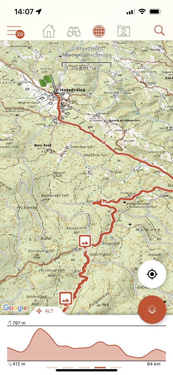
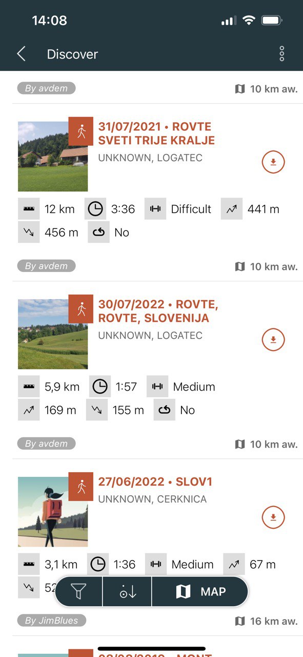
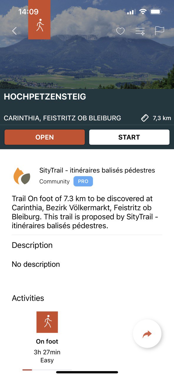
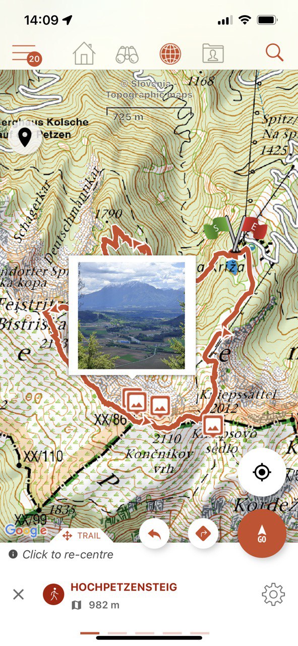
With over 10,000 kilometers of marked trails, Slovenia is a paradise for hikers. These trails traverse breathtaking landscapes, including mountains, forests, rivers, and even caves. Hikers can climb to the summit of Mount Triglav, the country's highest peak, or venture into Triglav National Park, a vast wilderness area hosting numerous animals and impressive biodiversity.
For those who prefer cycling, Slovenia does not disappoint either. With more than 14,000 kilometers of cycling trails, the country offers a variety of options for all levels. Whether you are an experienced cyclist looking for a challenge or a leisure cyclist in search of tranquility, you will find routes to your taste in Slovenia. Mountain bikers can thrive on mountain tracks, while road cyclists can enjoy the picturesque landscapes of the valleys.
But Slovenia is not limited to hiking and cycling. It also offers a multitude of other outdoor activities, such as rafting, paragliding, rock climbing, and even caving. Bled and Bohinj lakes offer opportunities for swimming, fishing, and canoeing, while the Slovenian Adriatic coast, though small, is a wonderful place to relax and enjoy the sun.
This subscription provides access to the following map types:
- Slovenia - Topographic maps
- OpenStreetMap world maps
- A map of slopes around the world
It also enables Premium features in Web and mobile applications :
- Download topographic maps for offline use.
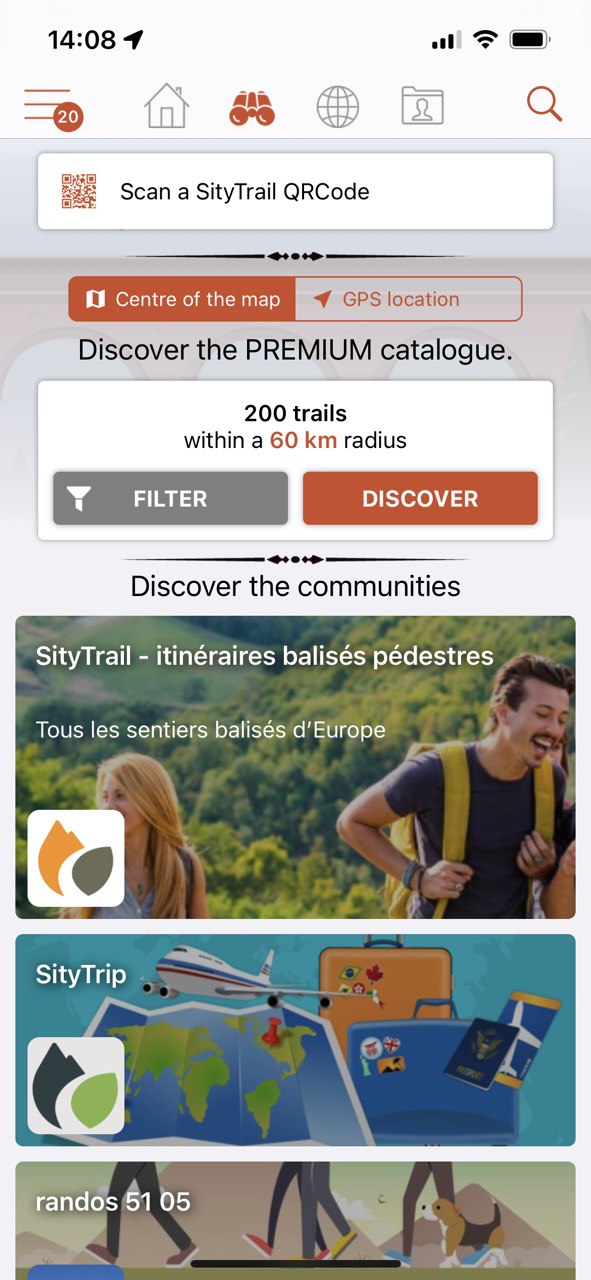
- Access the public catalogue of trails from SityTrail members and communities.
- Advanced tracking and guiding features with calculation of the remaining distance and time and vocal instructions at intersections.
- Create your own hiker communities and manage your members and newsfeeds.
- Create trails with our advanced features for trail editing via our website : automatic drawing, merging and splitting of trails, etc.
- Print trails in PDF format with QR codes. (A4, A3).
- Export GPX and KML files.
- Priority technical support.
- Remove ads in the mobile application.
- "SOS" feature.
- Visualization of a hiking trail on a 3D map (terrain with elevation)