SityTrail Premium Japan - yearly subscription

Japan, a country of varied landscapes and rich culture, is a favored destination for outdoor activities. Its diverse topography, combining towering mountains, verdant forests, sparkling lakes, and beautiful coastlines, makes this country a true paradise for hiking, cycling, and outdoor activities enthusiasts.
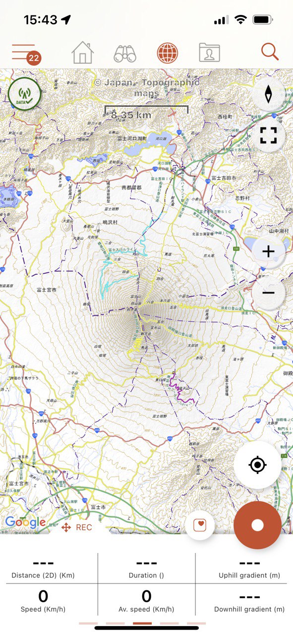
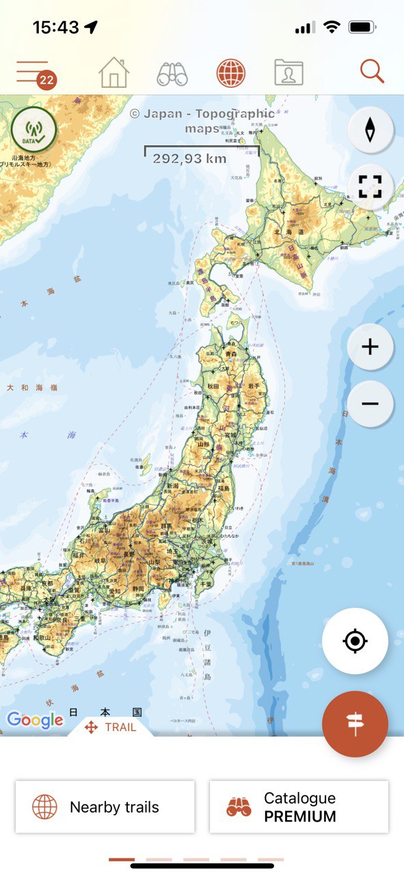
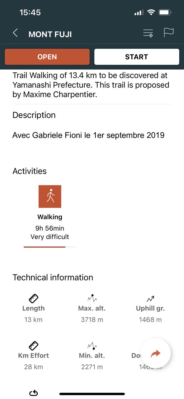
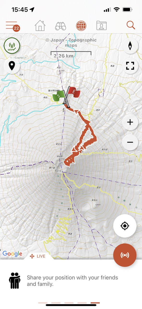
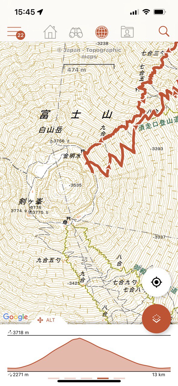
Stretching over more than 377,000 square kilometers, Japan offers a wide variety of terrains for exploration. The Japanese Alps, with their snow-capped peaks and scenic valleys, are a favorite spot for hiking. Climbing enthusiasts can ascend Mount Fuji, the country's highest point, while those preferring gentler hikes can stroll along coastal paths or through the bamboo forests of Kyoto.
With over 1,000 km of marked hiking trails, the country provides options for all levels of hikers. The Nakasendo and Kumano Kodo, two ancient pilgrimage routes, are among the most popular, crossing historic villages, lush forests, and natural hot springs.
Cycling is also a popular activity in Japan. The country has a network of over 5,000 km of cycling paths, offering a variety of landscapes, from urban tracks in Tokyo to rural trails in Hokkaido. Road cyclists can also enjoy scenic routes like the Shimanami Kaido route that crosses several small islands in the Seto Inland Sea.
In addition, Japan offers a multitude of other outdoor activities. Water sports such as canoeing, rafting, and surfing are popular, as are skiing and snowboarding in the mountainous regions. The country also has several national parks, where bird watching, camping, and fishing can be done.
In summary, Japan is a country that has a lot to offer to nature lovers and outdoor sports enthusiasts. With its stunning landscapes, rich culture, and numerous activities, it promises a unique and memorable experience.
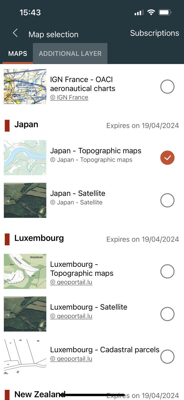
This subscription provides access to the following map types:
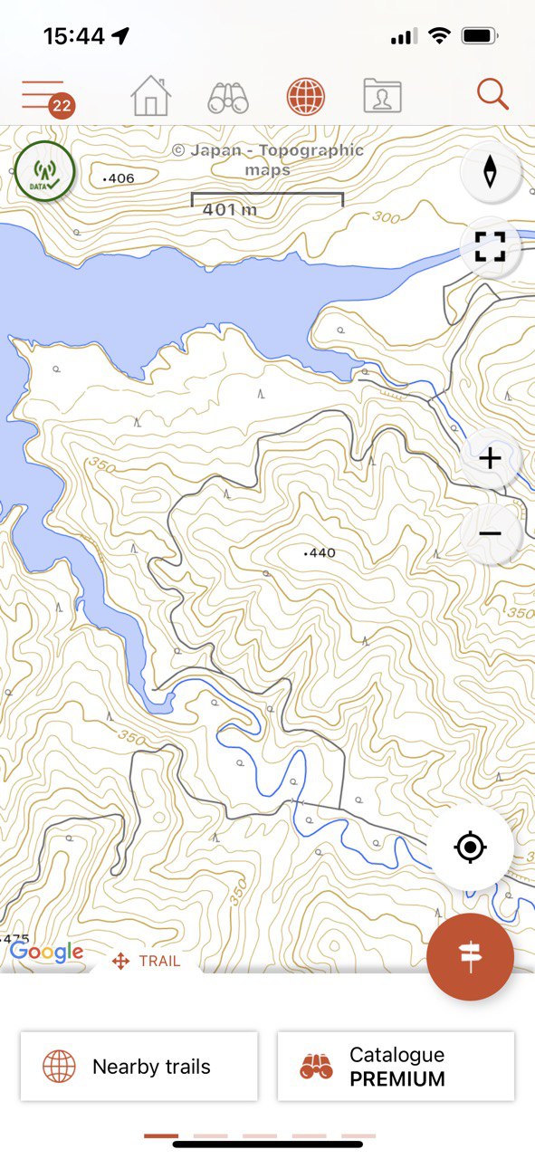
- Japan - Topographic maps
- Japan - Satellite
- OpenStreetMap world maps
- A map of slopes around the world
It also enables Premium features in Web and mobile applications:
- Download topographic maps for offline use.
- Access the public catalogue of trails from SityTrail members and communities.
- Advanced tracking and guiding features with calculation of the remaining distance and time and vocal instructions at intersections.
- Create your own hiker communities and manage your members and newsfeeds.
- Create trails with our advanced features for trail editing via our website : automatic drawing, merging and splitting of trails, etc.
- Print trails in PDF format with QR codes. (A4, A3).
- Export GPX and KML files.
- Priority technical support.
- Remove ads in the mobile application.
- "SOS" feature.
- Visualization of a hiking trail on a 3D map (terrain with elevation).