SityTrail Premium Denmark - yearly subscription

Denmark, a Nordic gem known for its "hygge" lifestyle, is a must-see destination for lovers of nature and outdoor activities. With its relatively flat topography and extensive network of cycling paths and hiking trails, this Scandinavian country is particularly suited for hiking and biking.
Spanning over 43,000 km², Denmark offers a diverse landscape that includes lush forests, peaceful lakes, gentle hills, and miles of spectacular coastlines. Whether you wish to climb the sand dunes in Thy National Park, explore the white cliffs of Møn, or stroll along the beaches on the West Jutland coast, there is a multitude of places that will delight nature lovers.
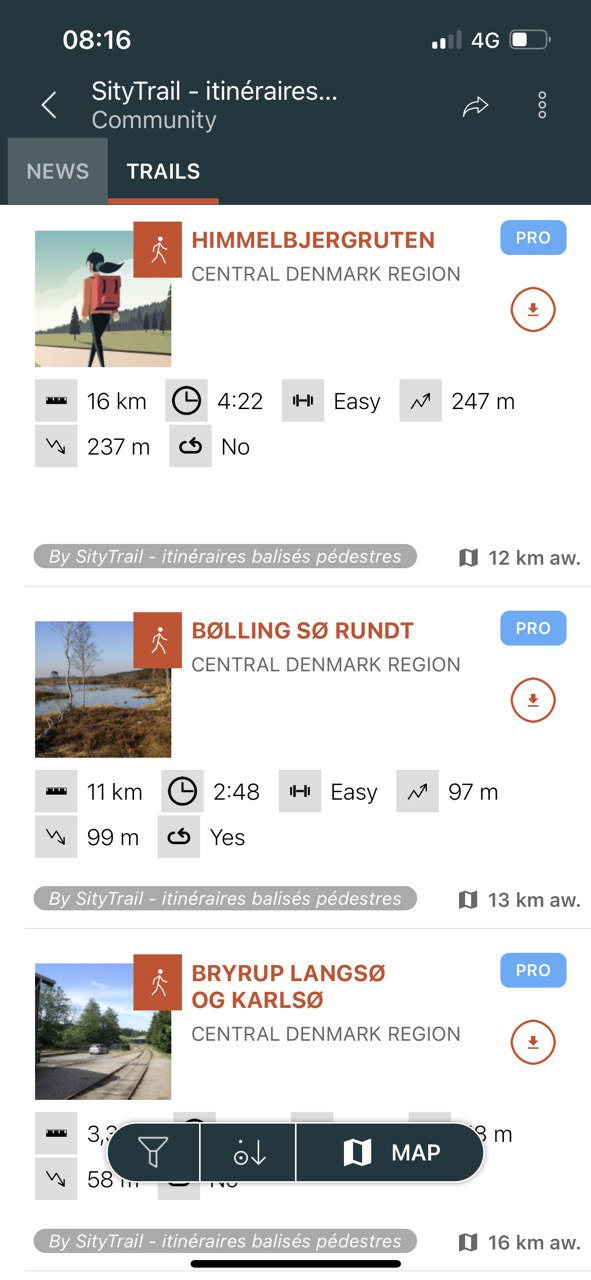
For hikers, Denmark offers more than 5,000 km of marked trails. The routes vary from short walks to long hikes, allowing everyone to find a hike that suits their fitness level and preferences. One of the most well-known trails is the "Hærvejen", an ancient pilgrimage route stretching approximately 500 km from Jutland to the German border.
When it comes to cycling, Denmark is a true paradise. With a network of bike paths spanning over 12,000 km, cyclists can discover the country at their own pace. Cities like Copenhagen are famous for their cycling culture, and there are many regional and national routes that traverse picturesque landscapes, from tranquil forests to coastal villages.
Beyond hiking and biking, Denmark offers a variety of other outdoor activities. Sailing, kayaking, and swimming are popular along the coast, while bird watching is a common activity in the country's many national parks. Whether you wish to explore the country's stunning castles, enjoy impressive views from a peak, or simply relax on a quiet beach, Denmark offers something for every outdoor enthusiast.
This subscription provides access to the following map types:
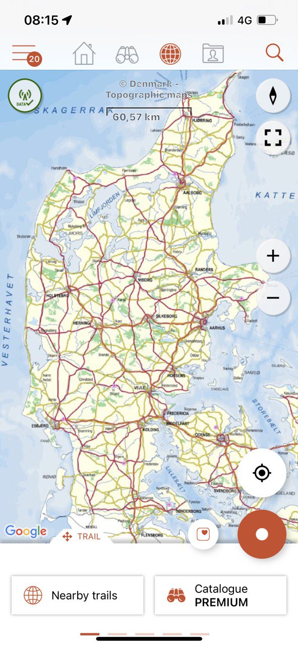
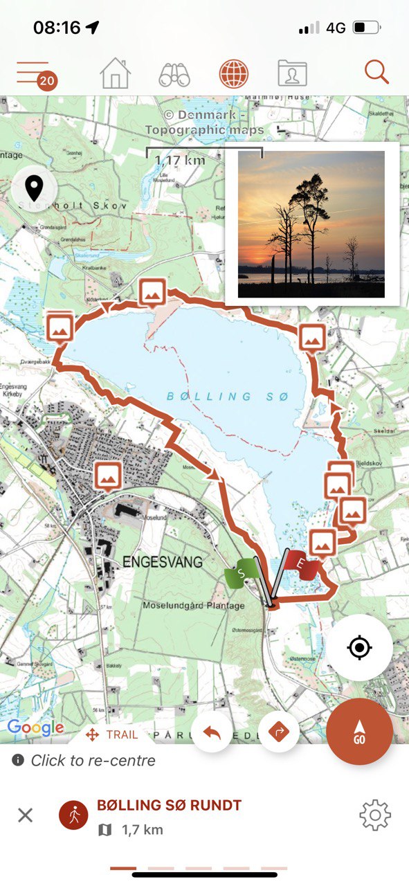
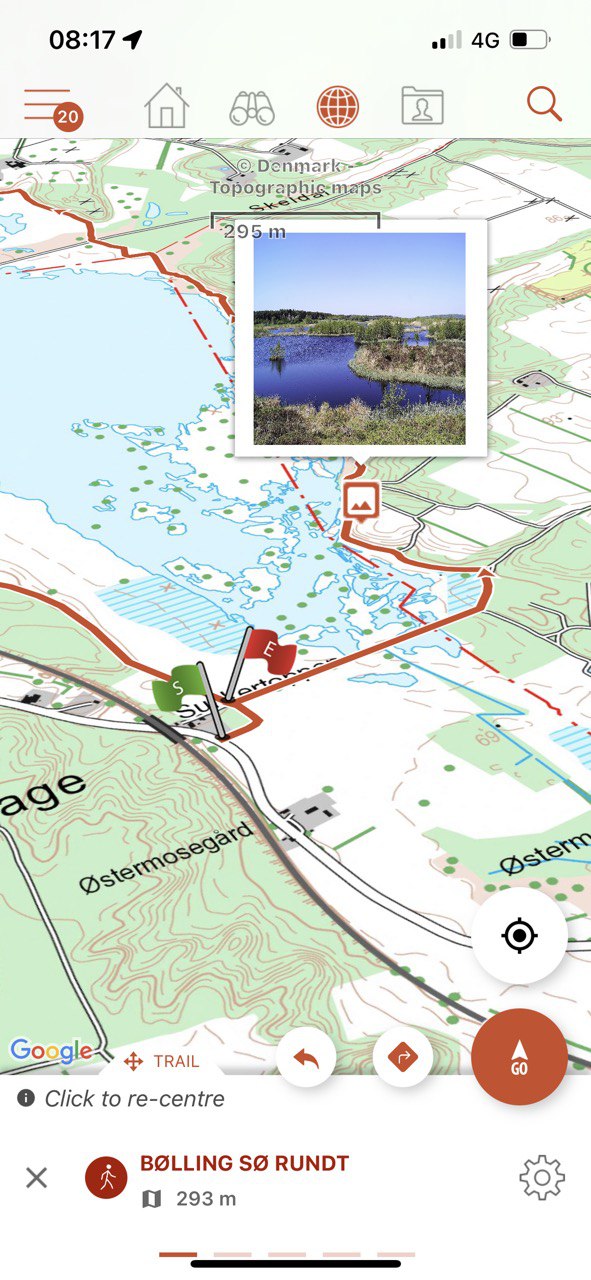
- Denmark - Topographic maps
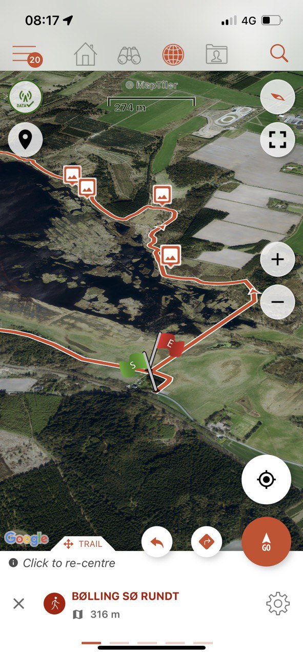
- Denmark - Satellite
- New: OpenStreetMap world maps
- New: A map of slopes around the world
It also enables Premium features in Web and mobile applications:
- Download topographic maps for offline use.
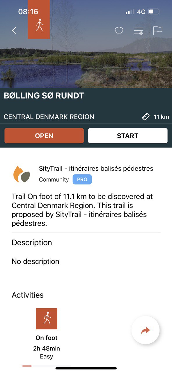
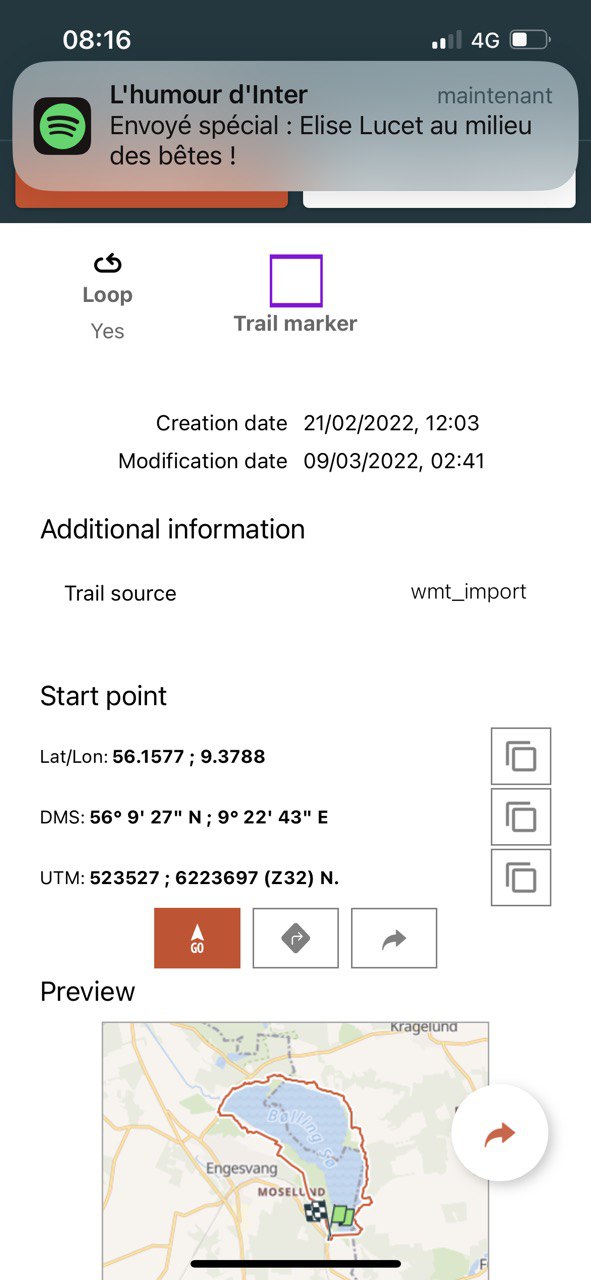
- Access the public catalogue of trails from SityTrail members and communities.
- Advanced tracking and guiding features with calculation of the remaining distance and time and vocal instructions at intersections.
- Create your own hiker communities and manage your members and newsfeeds.
- Create trails with our advanced features for trail editing via our website : automatic drawing, merging and splitting of trails, etc.
- Print trails in PDF format with QR codes. (A4, A3).
- Export GPX and KML files.
- Priority technical support.
- Remove ads in the mobile application.
- "SOS" feature.
- Visualization of a hiking trail on a 3D map (terrain with elevation).