SityTrail Premium France - yearly subscription


This subscription provides access to the following map types:
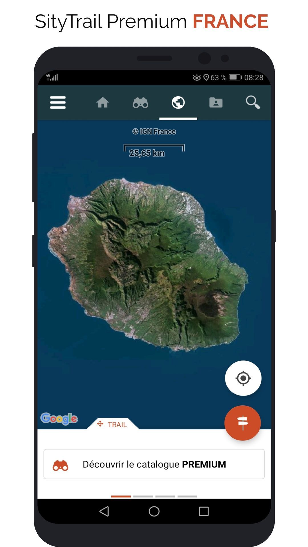
- IGN France - Topographic maps
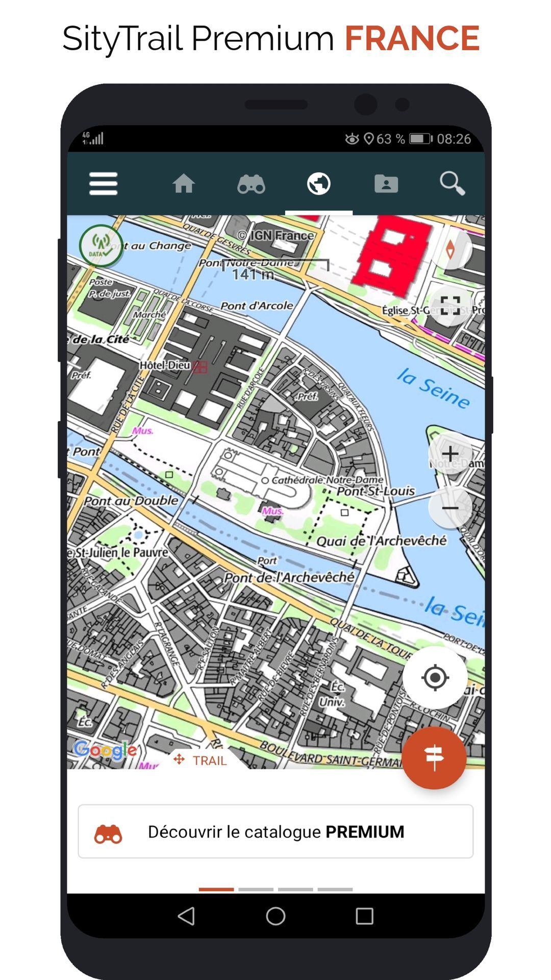
- IGN France - Plan IGN
- IGN France - Satellite
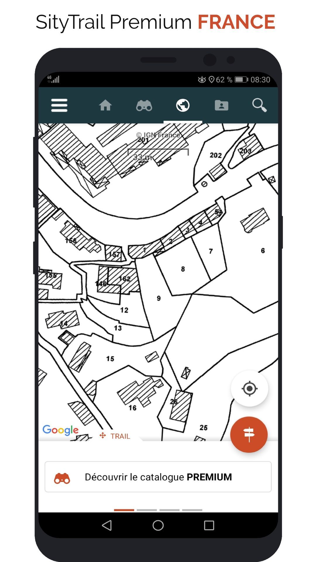
- IGN France - Cadastral parcels
- New: For aircraft pilots, the ICAO (International Civil Aviation Organization) aeronautical charts, edited and produced every year by IGN, in close collaboration with Service de l’information aéronautique (SIA). These are designed for visual flights.
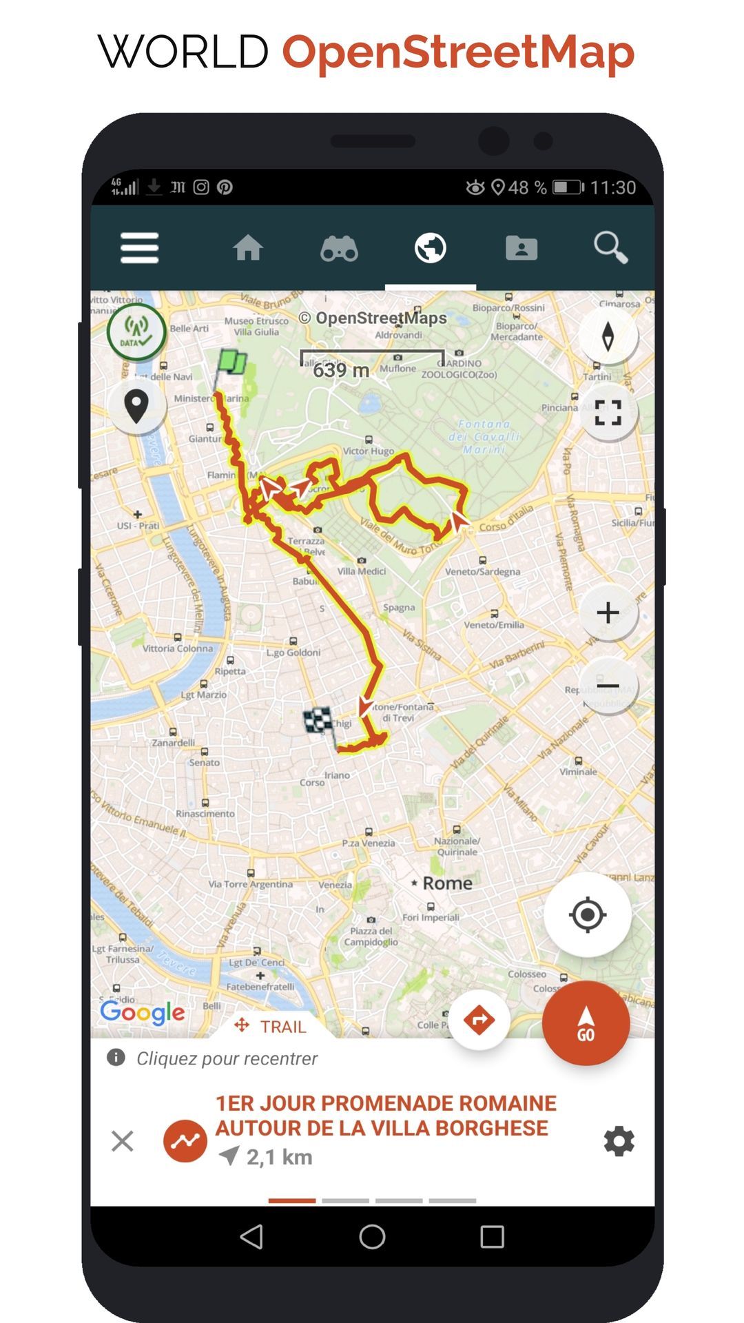
- New: OpenStreetMap world maps
- New: A map of slopes around the world
It also enables Premium features in Web and mobile applications:
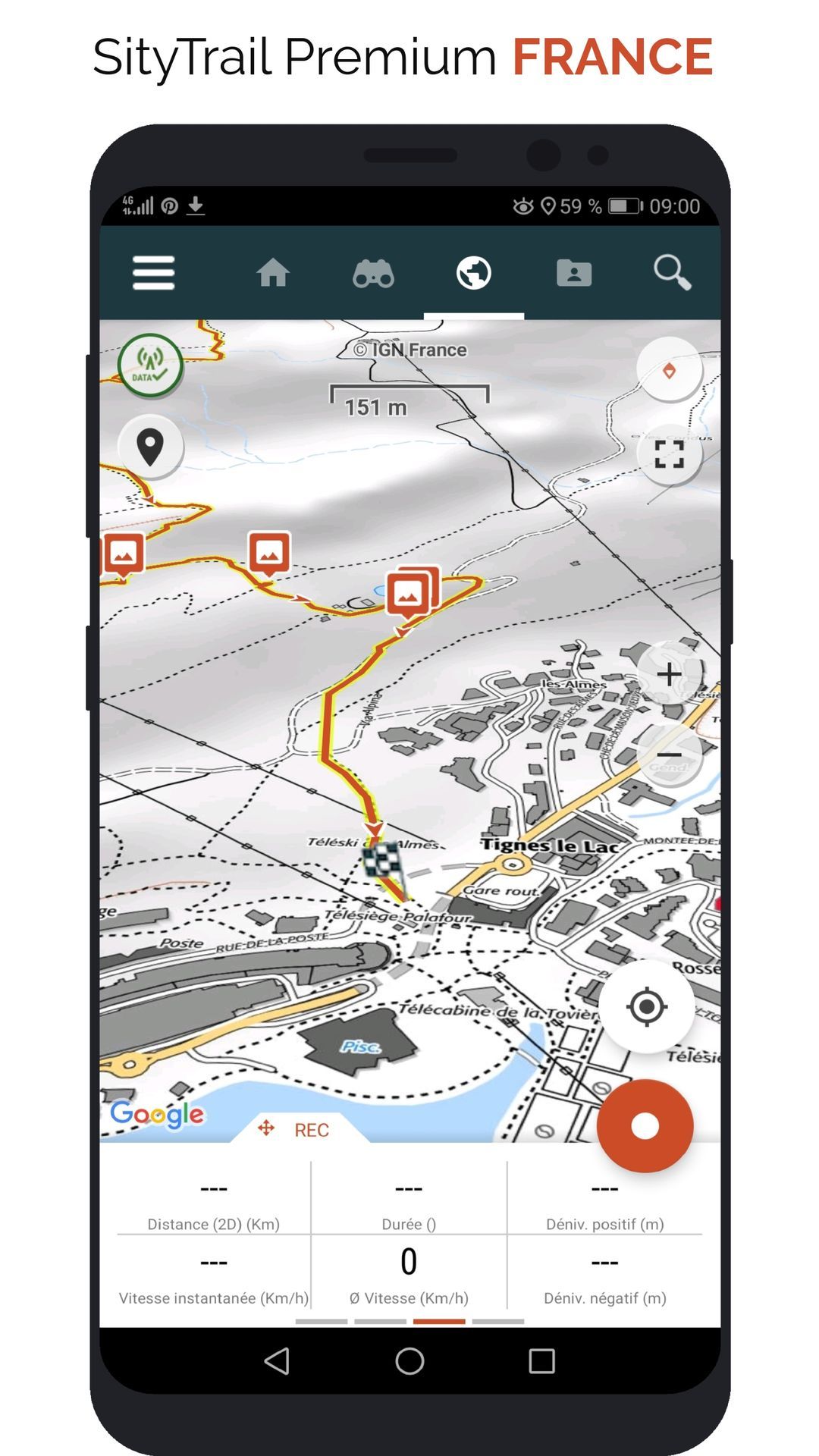
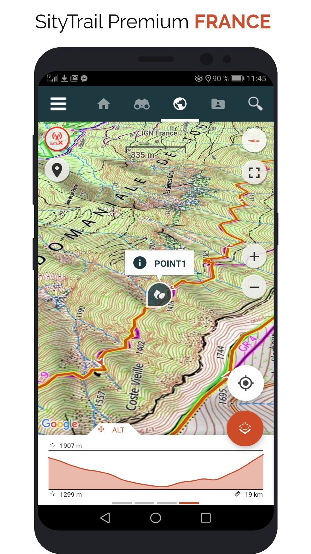
- Download topographic maps for offline use.
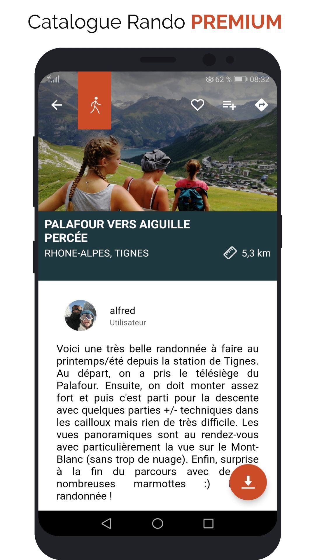
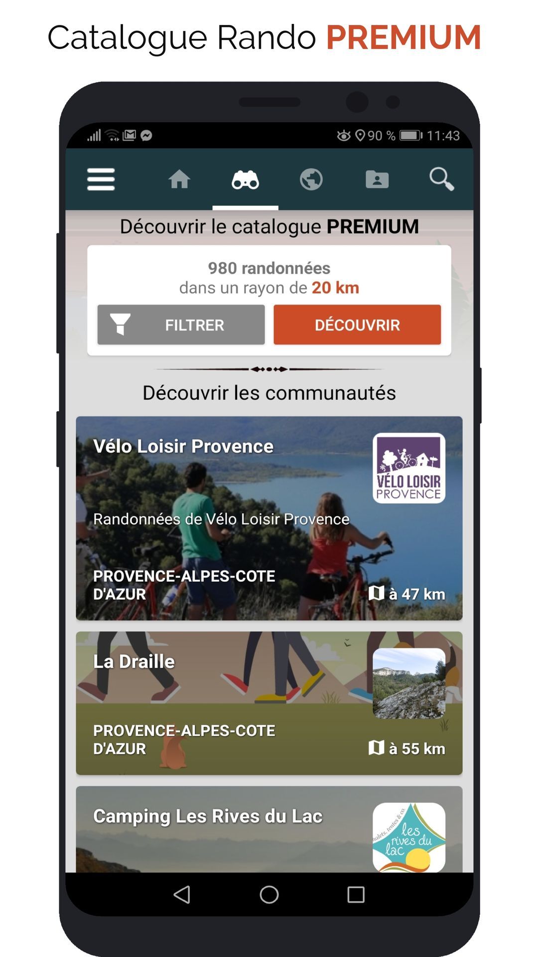
- Access the public catalogue of trails from SityTrail members and communities.
- Advanced tracking and guiding features with calculation of the remaining distance and time and vocal instructions at intersections.
- Create your own hiker communities and manage your members and newsfeeds.
- Create trails with our advanced features for trail editing via our website : automatic drawing, merging and splitting of trails, etc.
- Print trails in PDF format with QR codes. (A4, A3).
- Export GPX and KML files.
- Priority technical support.
- Remove ads in the mobile application.
- "SOS" feature.