SityTrail Premium Austria - yearly subscription

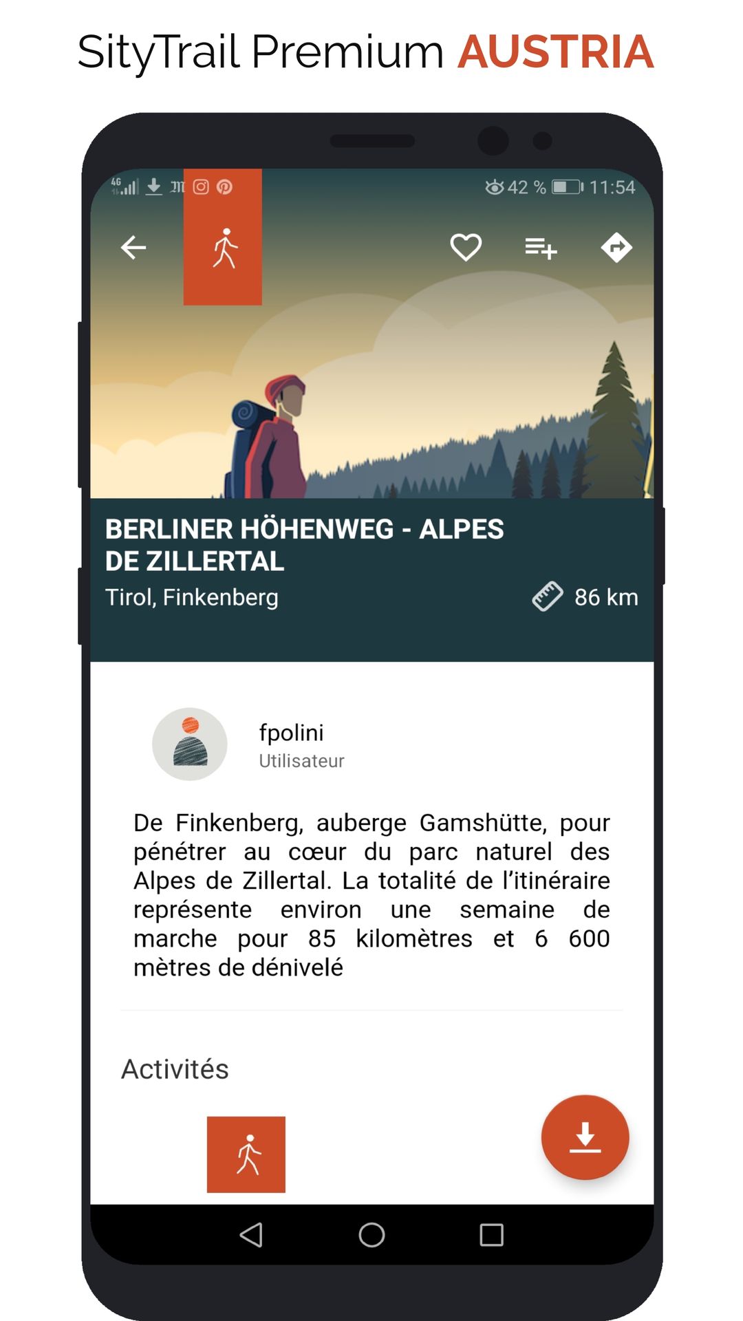


This subscription provides access to the following map types:
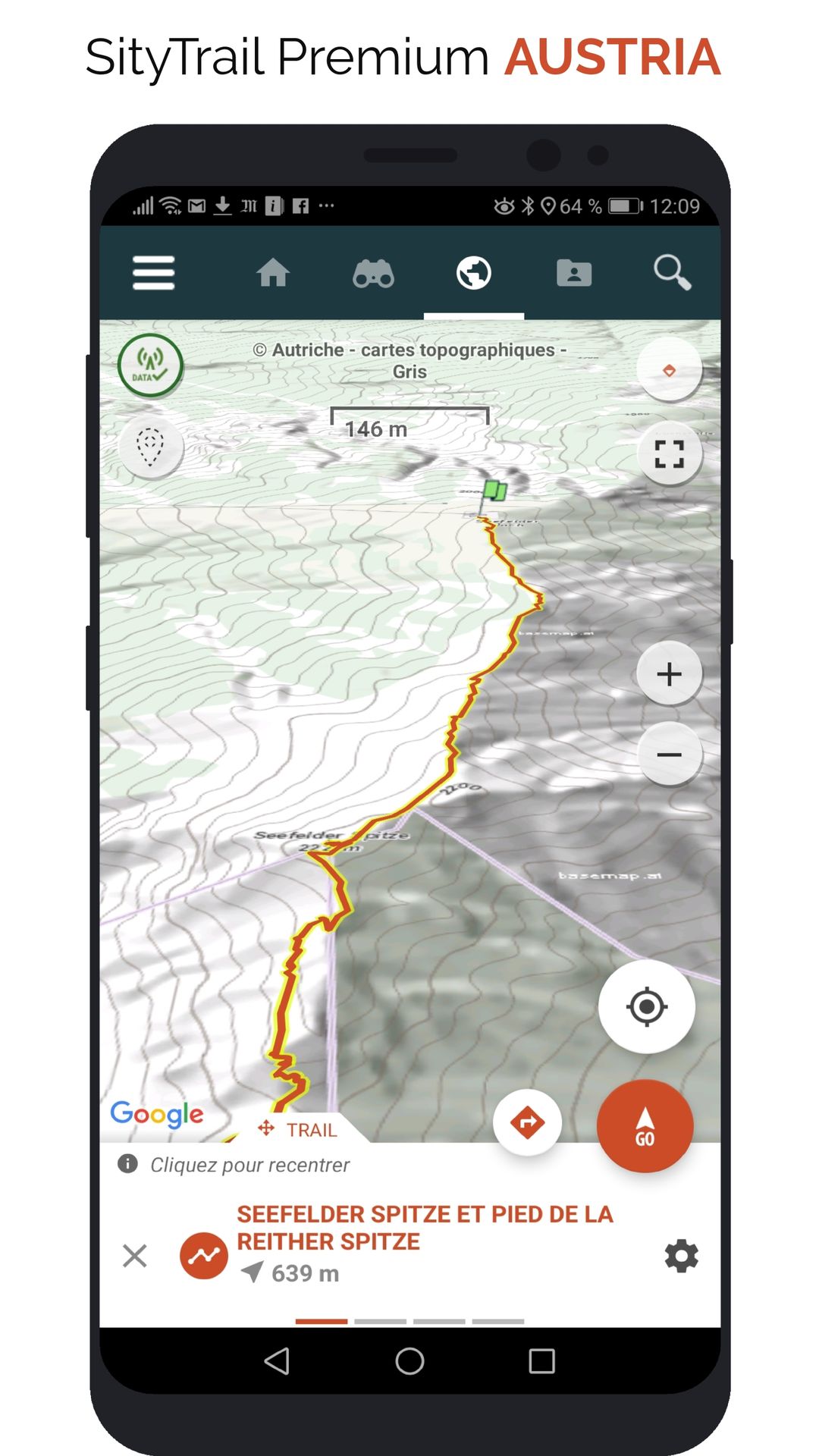
- Austria - Topographic maps
- Austria - Topographic maps - Grey
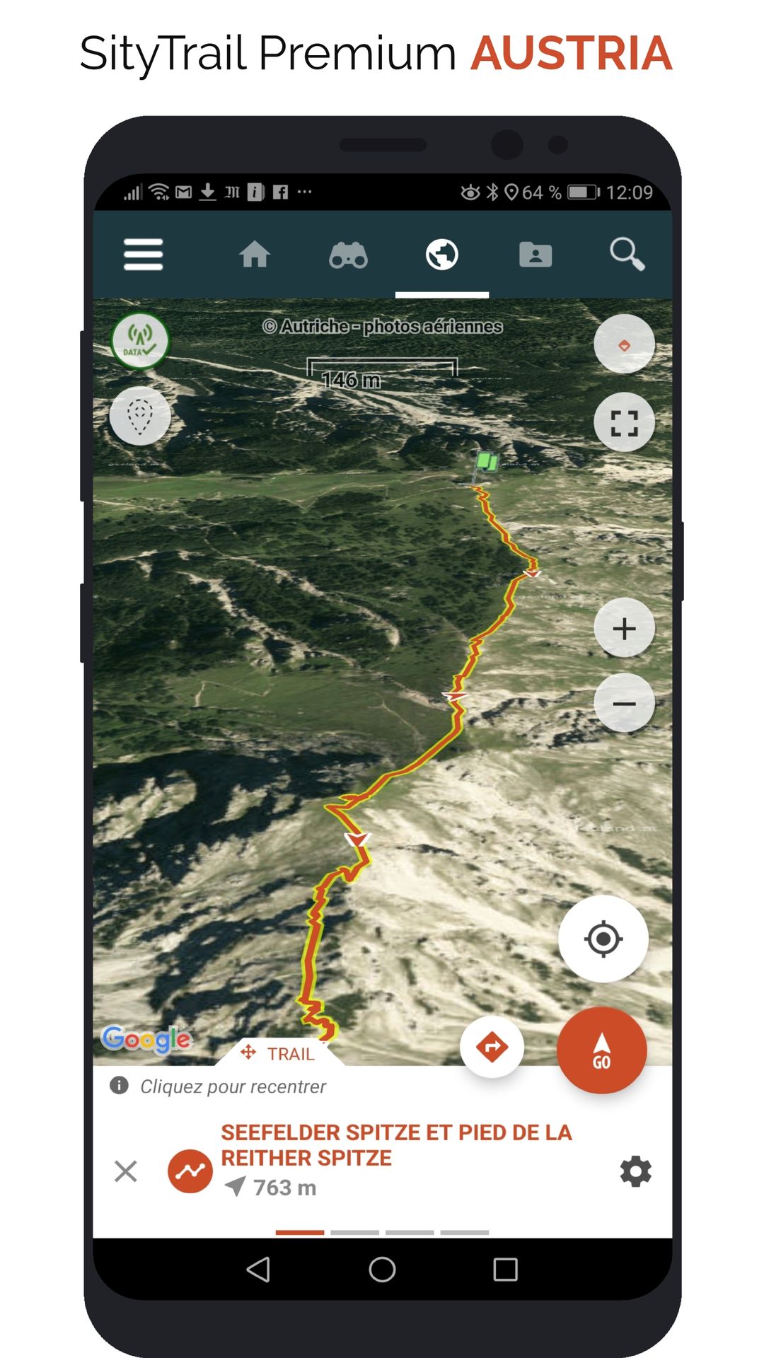
- Austria - Satellite
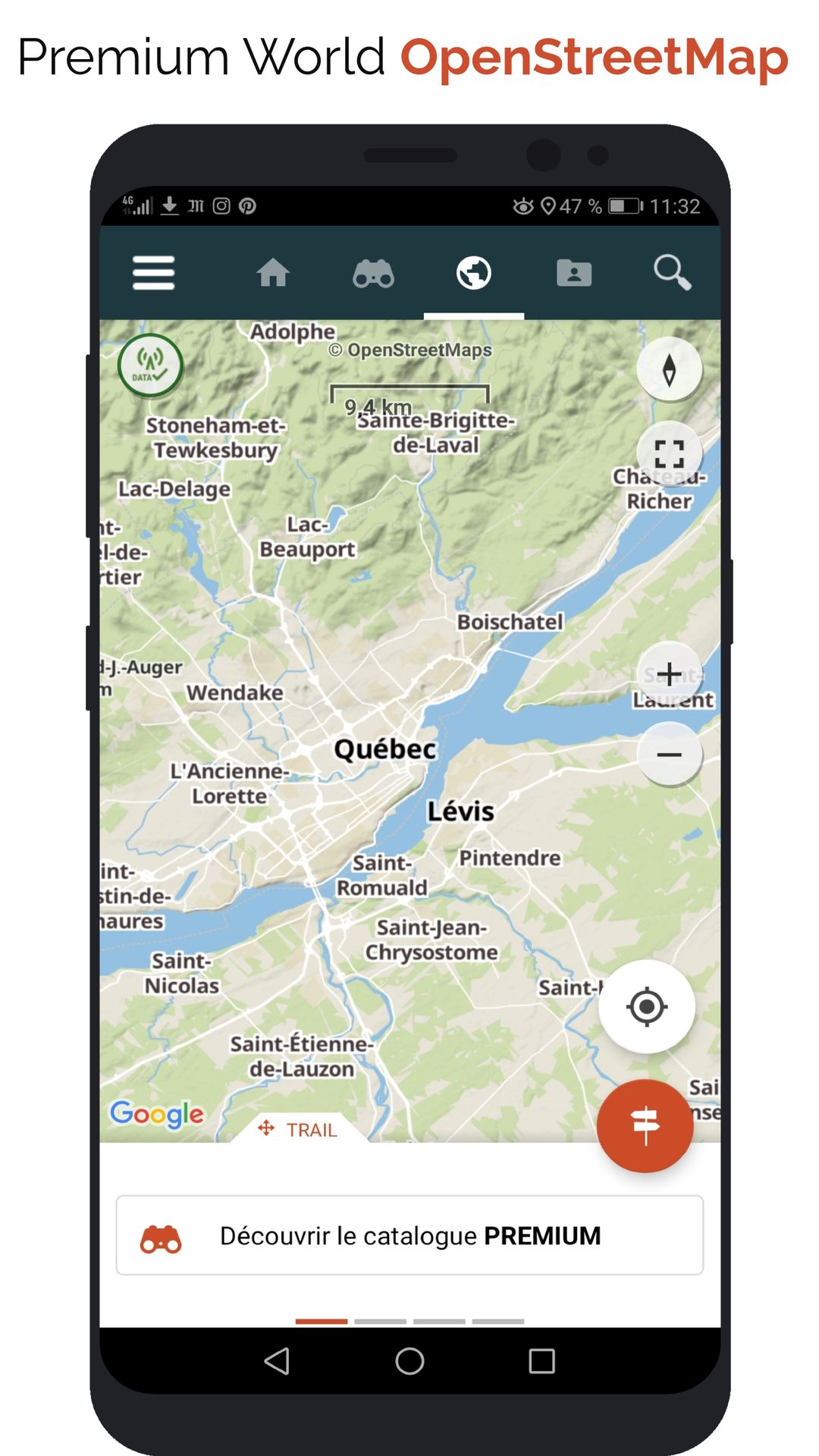
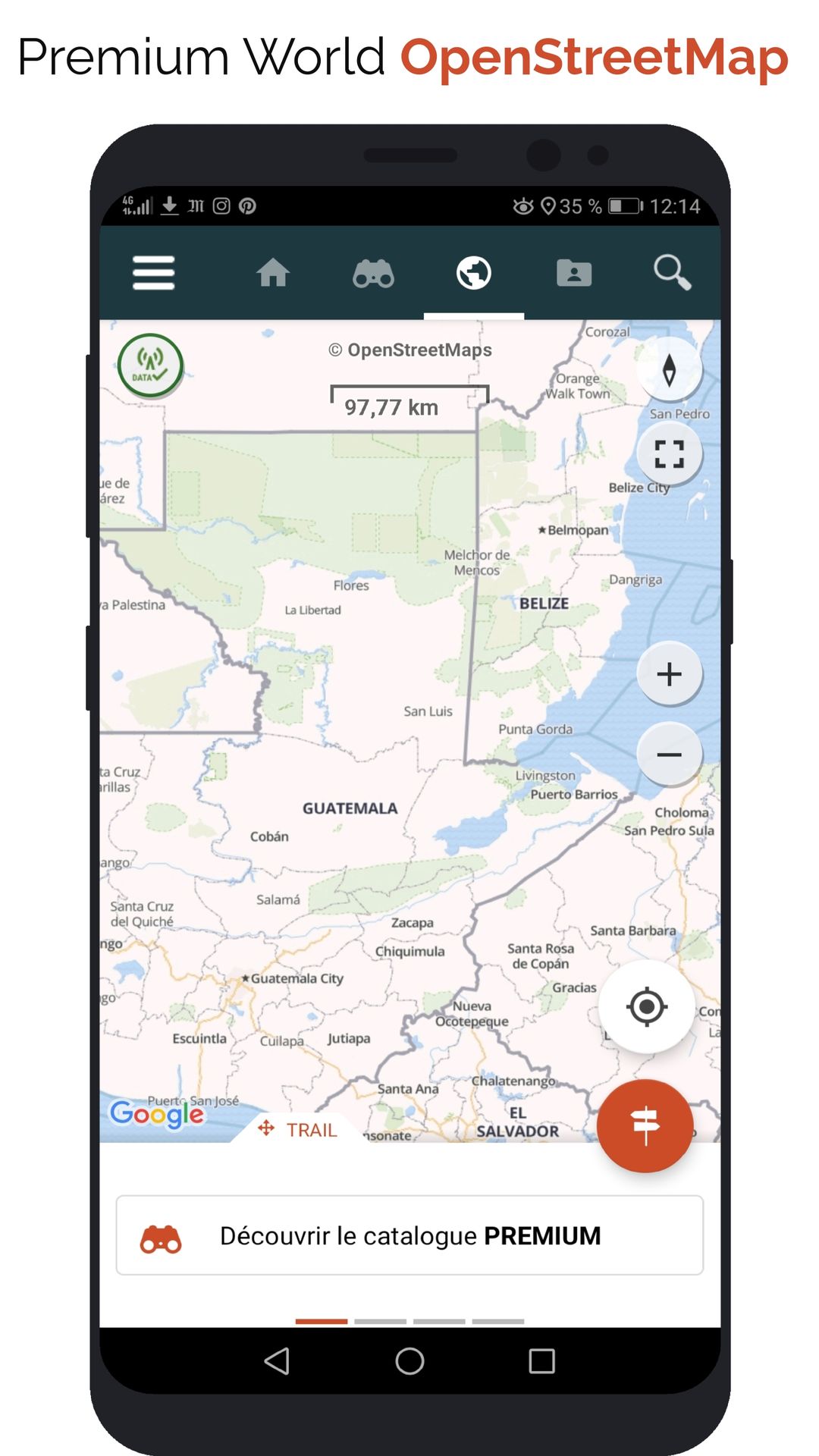
- New: OpenStreetMap world maps
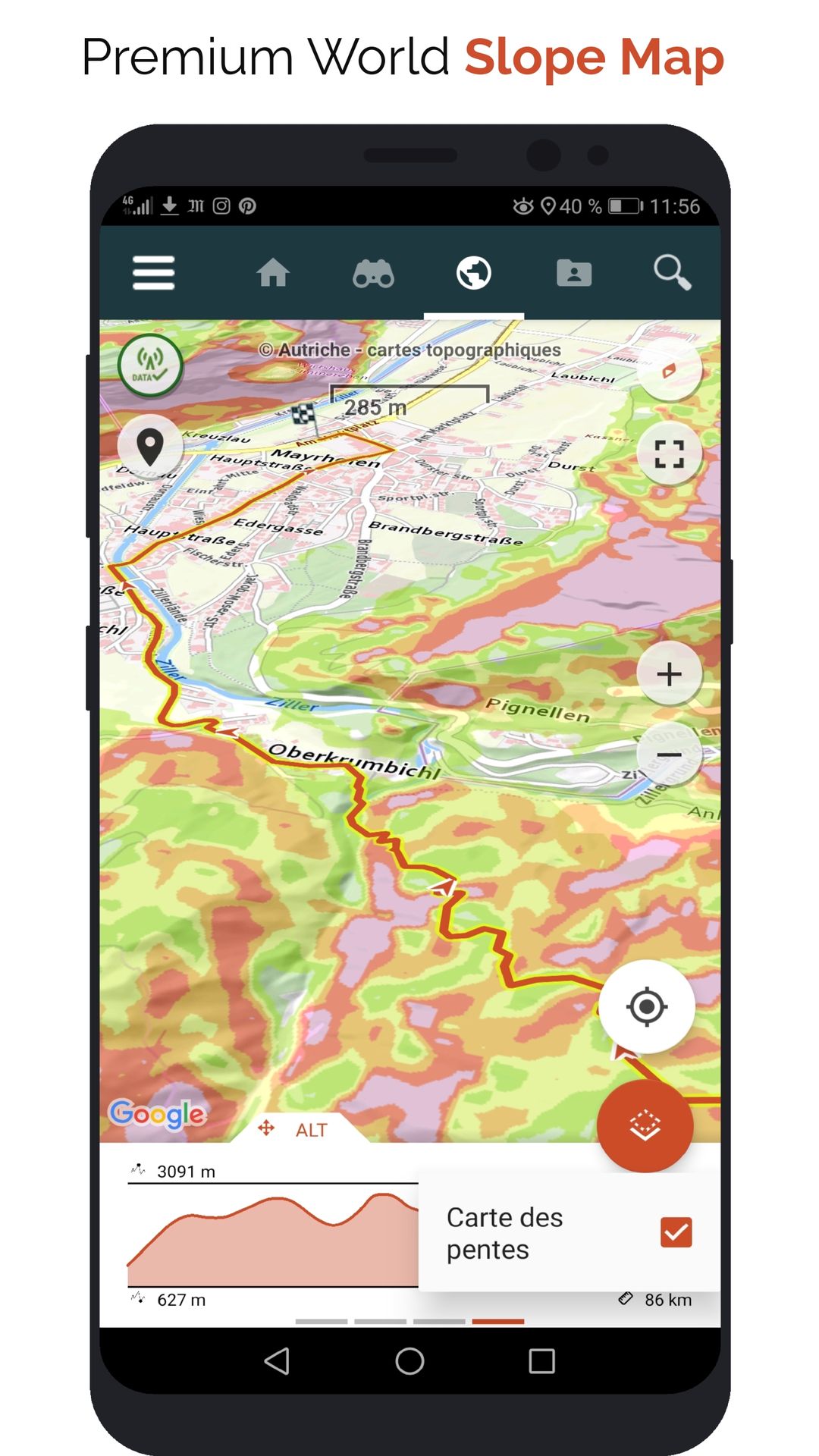
- New: A map of slopes around the world
It also enables Premium features in Web and mobile applications:
- Download topographic maps for offline use.
- Access the public catalogue of trails from SityTrail members and communities.
- Advanced tracking and guiding features with calculation of the remaining distance and time and vocal instructions at intersections.
- Create your own hiker communities and manage your members and newsfeeds.
- Create trails with our advanced features for trail editing via our website : automatic drawing, merging and splitting of trails, etc.
- Print trails in PDF format with QR codes. (A4, A3).
- Export GPX and KML files.
- Priority technical support.
- Remove ads in the mobile application.
- "SOS" feature.